
What we do?
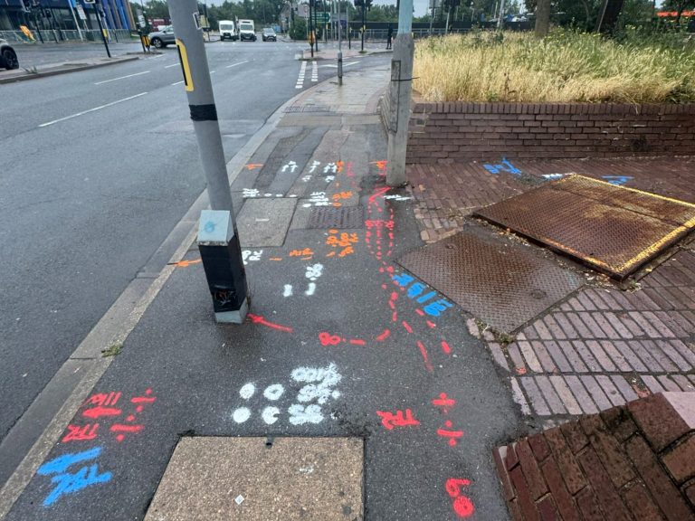
PAS128
- PAS 128 compliant utility surveys
- Underground utility mapping
- Utility record verification
- Utility avoidance surveys
- Quality Levels (QL-A to QL-D)
- Utility coordination for design and construction
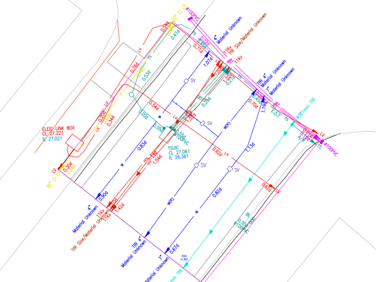
Detection & Mapping
- Ground Penetrating Radar (GPR)
- Electromagnetic (EML) cable locating
- Drainage tracing
- Utility asset mapping
- Utility mark-up and setting out
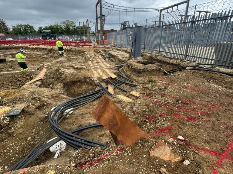
Topographical Surveys
- Topographical land surveys
- Engineering surveys
- Site control networks
- As-Laids